Helping Property Owners Correct FEMA Flood Map Errors

The National Flood Insurance Program began in 1968 as a way to ensure that homeowners in flood-prone areas knew the risk and had access to flood insurance.

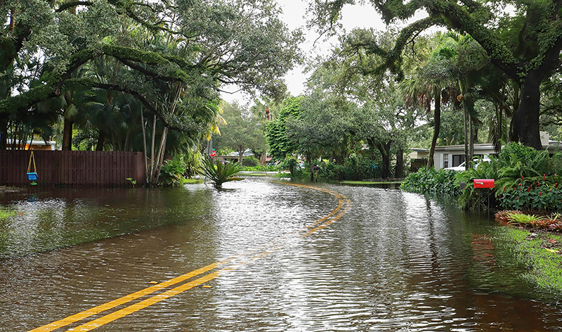
The NFIP, currently run by the Federal Emergency Management Agency (FEMA), assesses flood risk associated with properties using flood maps with risk categories built in.

These maps often don’t reflect recent changes in elevation for some properties, though.

Blackaller Engineering provides topographic surveying that will help determine whether or not your property is a flood risk according to FEMA.

If you need FEMA elevation certification, contact Blackaller Engineering today to speak with a representative.

Contact Us

FEMA Elevation Services

Elevation Certification

Certifying the elevation of your property requires a topographic survey. This will determine whether or not you’re within a flood plain or above it.

LOMA

A letter of map amendment (LOMA) will officially state that your property’s flood risk should be changed, and it’s based on our surveying.

Image title

LOMR-F

A LOMR-F is a letter of map revision that officially states that your property is no longer in a flood plain because it has been manually elevated out of it.

LOMR-C

A LOMR-C or CLOMR is a conditional letter of map revision that determines if a project will elevate a property enough to lift it out of a flood zone.

Contact Blackaller Engineering to Get A Quote

Blackaller Engineering has been serving Northeast Texas for almost 40 years. If you need FEMA flood elevation certification, contact us today to speak with a representative and get a quote.